Vitesse Worldwide has a local Sedona office that can provide chauffeured transportation to and from hiking trails, so you won’t have to rent a car. Ask about transportation packages that include service to and from Phoenix, Flagstaff, and Sedona area airports.
Click here to learn how you can bundle airport round trips and hiking drop-off services.
Save 15%
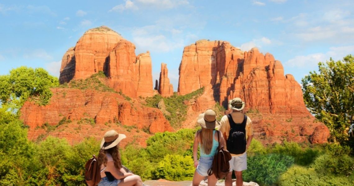
Cathedral Rock Hike- Home to one of Sedona’s famous vortexes this trail is a one-mile round trip with a total elevation gain of 550 feet. Located off Highway 179, between Sedona and the Village of Oak Creek
Doe Mountain Trail- Views that extend out in all directions, including Mescal Mountain, Fay Canyon, and Bear Mountain, this trail is 1.2 miles out-and-back with a total elevation gain of about 425 feet
Fay Canyon- Suitable for hikers of all abilities, this 2.4-mile trail meanders through scenic Fay Canyon in the heart of the red rocks with an elevation gain of 190 feet
Boynton Canyon- this hike leads through several types of forests with an energy vortex at the start. This trail is 6.1 miles out-and-back and parallels the property of Enchantment Resort
Devil’s Bridge Trail- One of the most frequented trails in Sedona, this trail leads to a spectacular natural sandstone arch. Almost anyone can do this 4.2-mile out-and-back hike.
Airport Mesa Trail/Airport Loop Trail- High about the valley with great views of the city and beyond, this 3.5-mile trail has an elevation of 200 feet with stunning views of colorful cliffs on Mogollon Rim
Bell Rock Pathway- Suitable for hikers of all ages, tourists come here to bike, hike, and sightsee. This trail is 3.6 miles one way or 1.5 miles if you start from the Courthouse Vista
West Fork Trail- Located in beautiful Oak Creek Canyon and different from many of the other hikes in the Sedona area, this trail passes rock formations that have been sculpted by the rushing waters. Provides shade, water, and tree cover which makes it ideal for hikers in the summer. This hike is 6.8 miles long with 400 feet of elevation
Soldier Pass- Key sites here are the massive Devil’s Kitchen Sinkhole, along with the beautiful Seven Sacred Pools this hike is a 4.1 mile loop trail with an elevation of 600 feet.
Bear Mountain- A Great trail for experienced hikers at 4.3 miles with an elevation of 1,975 feet featuring 360-degree views including the extinct volcanoes of the often snow-covered San Francisco Peaks, the ghost town of Jerome and Doe Mountain.
(Click here for a general location map of the above trails)
Hiking Tips:
- Avoid hiking during the hottest part of the day.
- Continually hydrate and replenish electrolytes with water and sports drinks.
- Dress in a breathable, lightweight, light color loose fitting close. Long sleeves and pants are recommended to shield skin from the sun as well as a bandana to cover your face from the wind.
- Watch for wildlife and keep your distance when you come upon them.
- Use the buddy system and leave your itinerary with a friend or relative
- Know your limits and rest often bringing snacks such as a high-energy trail mix.
- Consider a wide-brimmed hat, sunglasses and don’t forget sunscreen on your ears.
- Consider a backpack with supplies like extra water, a first aid kit, tweezers, a knife, sunscreen, and lip balm.
- Learn to recognize signs of heat-related illnesses. The Centers for Disease Control and Prevention and the American Hiking Society provide online resources to start with.
- Consider light-weight desert hiking boots instead of sneakers.
Want more specific suggestions? Check out adventure photographer Forest Woodward’s nine essentials for a desert hike. Courtesy of Gortex, maker of outdoor activewear including hiking essentials.


